Getting on board a crowded bus or train can be a nightmare, especially if it is a particularly hot day and people are coming on board all sweaty and smelly after a long day's work. Unfortunately, it can sometimes be hard to predict when your bus or train might be crowded, but Google thinks that they might have the answer.
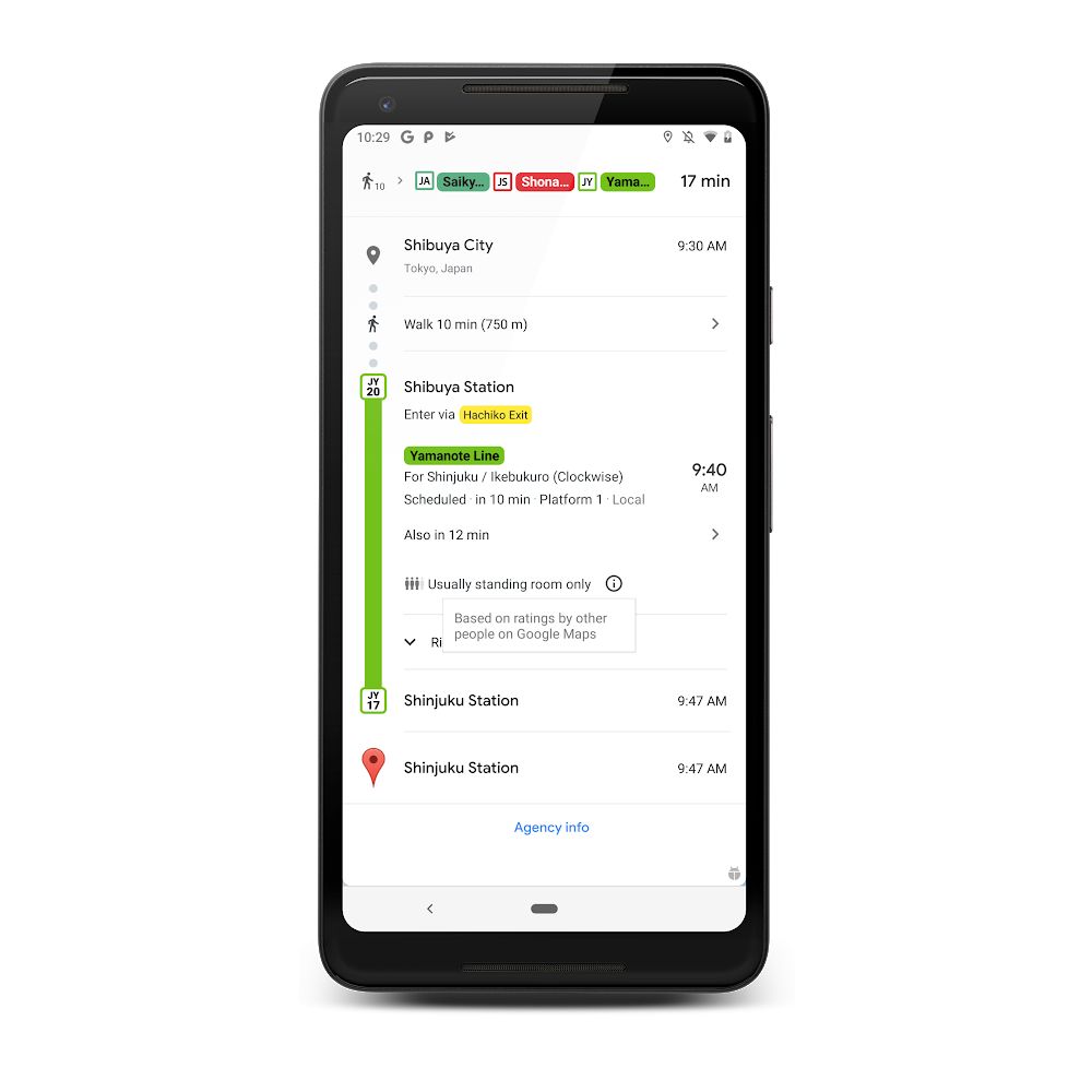
The company has recently announced a new feature for Google Maps in which it will be able to show users how crowded their buses or trains are going to be. According to Google:
"We're introducing transit crowdedness predictions so you can see how crowded your bus, train or subway is likely to be based on past rides. Now you can make an informed decision about whether or not you want to squeeze on, or wait a few more minutes for a vehicle where you're more likely to snag a seat."

If you're wondering why this feature sounds familiar, it is because Google Maps already has a similar feature for restaurants, where it can show users at which times a restaurant will most likely to be packed, but now the feature is being rolled out for public transportation too. This will help users make more informed decisions on when is the best time to take the bus or train, or factor it into their travel time.
Google says that the feature is now being rolled out across about 200 cities around the world, so make sure you have the latest version of Google Maps if you want to take advantage of it.
Source: Google
from Phandroid https://ift.tt/2FCbrcW
via IFTTT
No comments:
Post a Comment